BARAGGIA DI CANDELO
Trail marker:
Paline con vernice rossa
Place of departure:
Cossato (BI)
Place of arrival:
Aula verde, Candelo (BI)
Departure altitude:
416 m
Arrival altitude:
306 m
Duration:
1.20 hours for the whole trip
Uphill height difference:
115 m
Type of excursion:
Walking, Family excursion
Season:
Winter, Spring, Late spring/summer, Autumn
Discover and stroll through an evocative Savannah-like environment, not far from Ricetto di Candelo, a Biella treasure that bears witness to a medieval past.
Access and parking
From Biella, get to Candelo. Then follow the signs for the Baragge nature reserve until you reach Castellengo road. Here you will find yourself on a road with a long straight stretch running towards the park, visible in the background. Continue for about 6 km and there is no possibility of making a mistake. Near Cascina Preziosa, there is a clearing with a series of signs for some local farmsteads. Leave Castellengo road at this point and turn left into "Torchio" vicinal road, following it for about 1 km until you see signs for the car park on the left. Enter the gravel parking area and park your car.
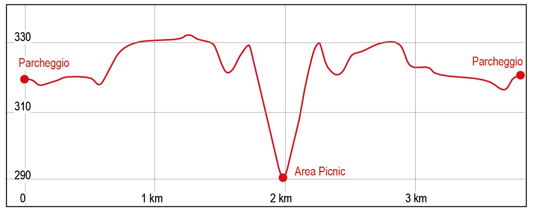
Route
From the parking area, enter the park and walk along the main path on the right. There are also red-painted markers to help you find your way. Continue for about ten minutes until you reach a large balcony with a splendid panorama. The Cervo stream is clearly visible at the bottom. Continue along the path that comfortably skirts the balcony over the river until you come to a fork in the path, marked by a red-painted pole, where by turning left you reach the car park. Instead, continue along the easy path, to the right, until you reach the Park of the Silent Ones, a place for all those who wish to scatter the ashes of their loved ones there. A little further on, take a descending slope to the right; continue along and in a few minutes you get to the green classroom, a comfortable picnic area with an adjoining botanical park. Here you can stop at one of the tables and observe various botanical species with dedicated signs. There is no drinking water available. To return to the car, follow the route already travelled, passing through the park of the Silent Ones until you reach the junction, marked with a red sign, which you met earlier. At this point, take the path to the right, moving away from the balcony and into the typical vegetation of the park. Following the path, it takes about 20 minutes to return to the car.