“BESSA” ITINERARIES
When you go trekking in the "Bessa", you find yourself in the midst of woods and piles of cobblestones, on dirt-roads and occasionally no road at all, exploring one of the world's largest, open-cast gold mines. A dense network of easy trails crosses this large area and some of them are suitable for mountain-bike and horseback riding. Four of them are signposted with detailed explanations and the landscapes they present to the visitor are always rewarding.
The Bessa can be visited in any season: the blooming season in spring is particularly delightful and the autumn and winter landscapes are amazingly suggestive.
Signposted Itineraries:
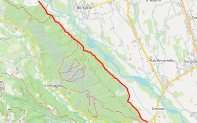
"Fontana del Buchin" Trail
Starting Point: The car-park at the junction for Magnano on the SP 411, from Cerrione to Mongrando.
Time required: 1 hour 30 mins
Level of difficulty: Easy
This trail may be considered as an introduction to the Bessa. It passes through the southern part of the Reserve, among extensive heaps of boulders and areas of vegetation. It is of great archaeological interest, due also to the presence of a stele, the only specimen to have been found in the Biella area, and which is now on show at the Cerrione headquarters.
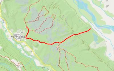
"Ciapei Parfundà" Trail
Starting Point: Vermogno Visitor Centre
Time required: 1 hour 30 mins
Level of difficulty: Easy
This itinerary, by means of a series of illustrative panels positioned along the route, leads us towards a more in-depth knowledge of the geological, historical and archaeological aspects of the Bessa.
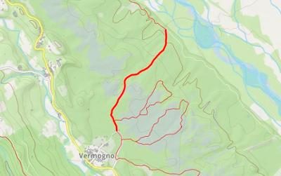
"Rive del Ger" Trail
Starting Point: Vermogno Visitor Centre
Time required: 1 hour 15 mins
Level of difficulty: Easy
In an environment where vegetation contends for space with a desert of boulders, this itinerary leads to a deeper knowledge of the Reserve's naturalistic, agricultural and forestry aspects.
"Truch Briengo" Trail
Starting Point: The car-park on the SS 419 before the bridge over the "Viona".
Time required: 1 hour
Level of difficulty: Easy
This itinerary winds through the northern part of the Bessa, and its landscape is vary varied: high, wood-covered morainic crests, erratic masses and, as regards panorama, "Truch Briengo".
The "Castelliere" installation is of archaeological interest.
Cycle paths: "Vecchie Cave" (Old quarry) path, "Massi Erratici" (Erratic Masses) path, "Cumuli di Ciottoli" (Piles of cobblestones) path
Dirt-roads well suited to mountain bikes and road bikes. Served by car-parks at Mongrando ("Cava Fiora" area), Zubiena (Vermogno, Bessa Reserve Visitor Centre and provincial road), Borriana ( Rivalta hamlet, footbridge over the Elvo) and Cerrione ("Cava Barbera" area).
Along the route there are lay-bys for bicycles.
Grand Tour of Biella Province (G.T.B.):
A pedestrian route which winds across the entire Biella territory and touches on the points of greatest interest. Approaching from Salussola, it crosses the Bessa with its characteristic yellow signposts ( not to be confused with the trail marks of the itineraries within the Bessa itself as described above) and continues towards Mongrando and Zubiena with a stopover at Borriana.
3 results


