GTB Section 05: Cerrione - Mongrando
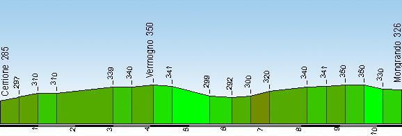
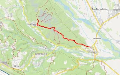
Start: Cerrione (285 m)
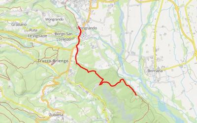
Finish: Mongrando (340 m)
GtB legs: 14-16
Passing through: Vermogno (350 m)
Length: 10.8 km
Ascents and descents: 150 m (climb) 100 m (descent)
Time required: 3’40”
Difficulty: T - (Easy)
Comments: One of the most interesting sections of the GtB is the crossing of the Bessa, one of the largest gold mines from the ancient world. This was used during the 2nd and 1st centuries BC using a procedure that radically altered the landscape. When the mine had been exhausted, nature took the upper hand once again and created a landscape in which the vegetation of the “bunde” (wet, narrow valleys) fights for space with the huge heaps of river stones that were piled up during the gold extraction process. This archaeological area - the largest in Piedmont - is today protected as a Regional Special Reserve.
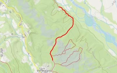
Having left Cerrione, a small uneven road climbs up through the trees to a junction where you take the right turn. This will take you to the road of Mezza Bessa, which you follow into a wood where the trees grow between piles of small stones. At the start of the Bessa Park educational route, take the path that joins the Strada delle Pietre Bianche (White Stones’ Road). Pass the junction for the Fontana del Buchin and you will arrive at a paved road near Vermogno. Pass alongside the ”Arena dei cercatori d’oro” (Goldminers’ Arena), then the Visitors Centre at Bessa Park, and from here you can head off to the left towards the centre of the village of Vermogno, where the Ecomuseo dell'Oro museum is open every Sunday in summer (check the opneing times). Take the carriageable dirt road that descends towards the Elvo Valley and take the “Strada delle Cave” (Mine Road) on the left. Branch off the road onto a mule-track on the left and you will be taken again to the Bessa Park, where a maze of small disconnected roads will bring you to the outskirts of Mongrando.
3 results

